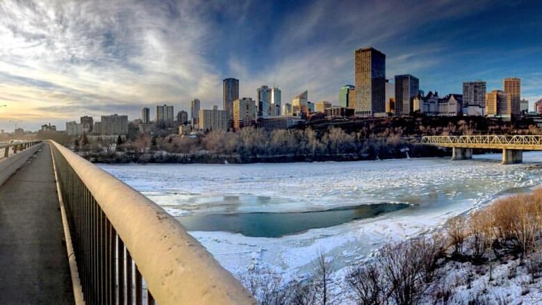
High snowpack across Alberta has river forecasters on alert this spring
The immediate concern is in low-lying areas on the prairies

Provincial officials are keeping a close eye on creeks and streams across Alberta as temperatures start to rise.
During last week's monthly snow survey by Alberta Environment and Parks, all of the river basins across the province still had higher than average snowpacks.
"In the mountains, there is a little bit more snow than average," said David Watson, a river forecast engineer. "We'd say above average to much above average."
In southern Alberta, he said the Oldman River basin is about 144 per cent of average. The Bow River through Calgary is around 120 per cent, while the Athabasca River north of Edmonton is around 130 per cent.
Although the snowpack is higher than average across Alberta, Watson said the immediate concern is in low-lying areas on the prairies.

"The plains snowpack is a little bit of a different animal and impact than the mountain snowpack," he said. "It's a little bit untypical to have a remaining plains snowpack this late in the year, especially in southern Alberta.
"We'll be closely watching how the weather unfolds in the next couple of weeks and even in the next couple of days."
With longer days and a forecasted temperature swing, Watson said that snowpack could melt faster than usual.
"There could be a lot of overland ponding in low-lying areas, ditches, areas where people have typically noticed areas to be wet in the spring."
Snowpack only one factor
Watson said creeks and streams could also see some minor flooding, but officials don't expect larger rivers such as the Bow or Athabasca to be affected in the coming days and weeks.
Both he and other experts noted that snowpack is only one factor determining droughts or floods across the province.
In June 2013, when major flooding swept through southern Alberta, heavy rain fell on top of a high snowpack in the mountains.
John Pomeroy, a University of Saskatchewan hydrologist who studies snowpack in the Rockies, said there isn't a major concern — yet.
Weather stations at Sunshine and Lake Louise in Banff National Park and in Kananaskis Country are recording average to above-average snowpacks.
"They are above, but they are not a record," said Pomeroy, noting many of those areas saw record-high snowpacks last spring.
'One bad storm'
Despite the big snowpack in 2017, he said much of the snow melted early and then led to a record drought later in the summer.
Pomeroy said the long-term forecast is still calling for a cooler spring, which means the snow in the mountains will likely melt slower this year.
"Rainfall is necessary to cause flooding and we would not expect large rainfalls until later May and into June," he said.
Yet, he noted that everything could change with one bad storm.
"With a changing climate, we can experience unprecedented weather extremes so it is important to stay vigilant."