Canadian satellite set to keep an eye on Arctic
Space and military officials hope a satellite launched onFriday and capable of spotting fishing vessels as small as a car will be the latest tool to protect Canada's Arctic.

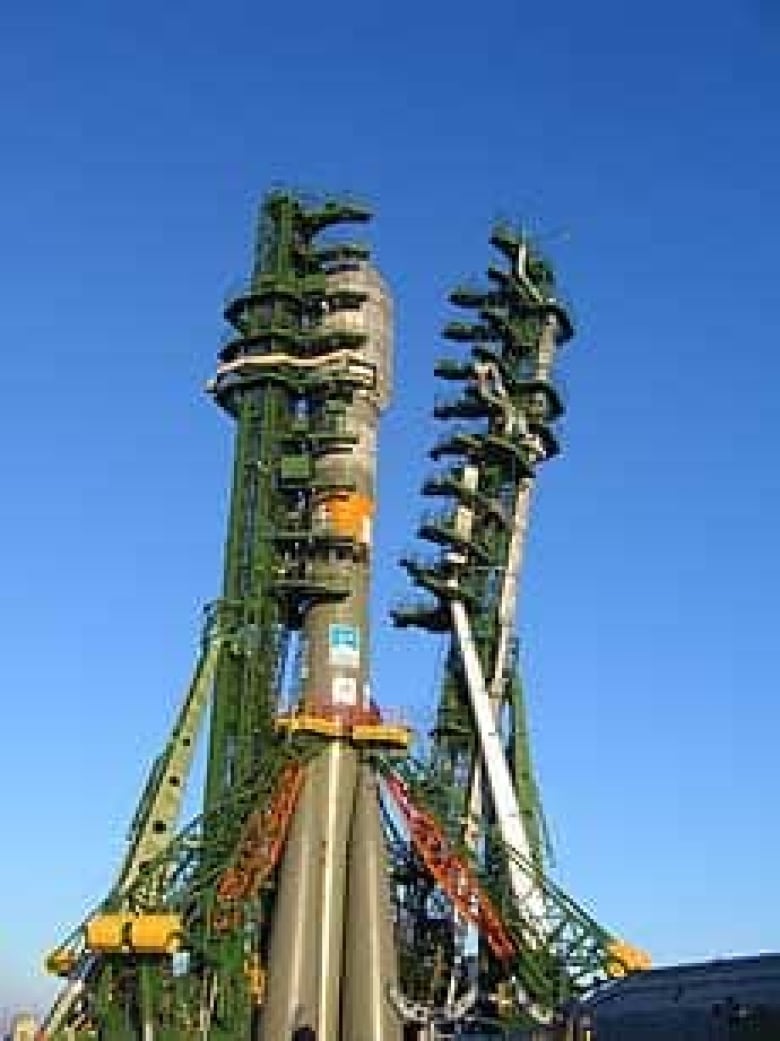
Radarsat-2, the second in a series of Canadian radar satellites, was launched aboard a Russian Soyuz rocket from the Baikonur Cosmodrome in Kazahkstan at 8:17 a.m. ET on Friday.
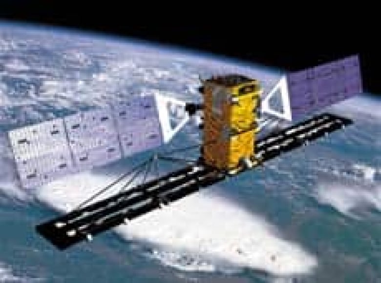
Once calibrated and tested in space, Radarsat-2 will orbit 800 kilometres above the Earth's surface and pass over the Canadian Arctic three times a day.
The satellite uses radar instead of optical instruments to get images from space, sending radio waves down to Earth and then capturing the signals that reflect back to create its images. The method allows it to see through clouds and poor weather, day or night.
Marko Adamovic, a systems engineer with the Canadian Space Agency's Radarsat-2 team, said the satellite's sensors are also equipped with an "ultra-fine beam mode," capable of resolution of up to 3 metres, or about the size of an automobile.
Keen sensors have military applications
The first Radarsat satellite, launched in 1995, provided image resolution of up to 10 metres, said Adamovic.
The difference in resolution will give the satellite a greater chance of spotting smaller objects like fishing boats, a feature Adamovic said could prove useful for search-and-rescue operations, oil-spill monitoring or protecting Arctic sovereignty.
"Now we will be able to perform routine surveillance of Canadian coasts and better protect our sovereignty, particularly Arctic sovereignty," said Adamovic.
The high-resolution mode will not only allow the satellite to detect ships, it also offers the potential for ship classification, according to the Canadian Space Agency.
Among the government agencies that will use Radarsat-2 is the Canadian Forces. Brig.-Gen. Chris Whitecross, who heads up the military's operations in the North, said she hopes the new satellite will be ready in time for an Arctic military exercise planned for August.
"We might be seeing here, at Joint Task Force North, the capability to use those satellite images even as soon as perhaps [Operation] Nanook '08," Whitecross said, referring to the August exercise that will test how the military and other government agencies respond to a scenario involving a cruise ship that has run aground in Arctic waters.
Environmental research planned
The Canadian Forces also hopes Radarsat-2 will help them monitor ship traffic in the Northwest Passage, Whitecross said.
The primary uses for the satellite, however, will be to monitor the environment and manage natural resources. Applications for the satellite include monitoring sea ice movement to allow ships to safely navigate waters, tracking water distribution, including wetland mapping, and mapping resources such as oil, minerals, forests, fisheries and agriculture.

The data it collects on hydrology, geology and ice characteristics will also have numerous applications for climate change research, said Adamovic.
The project is a collaboration between the Canadian government and Canadarm maker MacDonald, Dettwiler and Associates Ltd. The government, through the CSA,contributed $430 million to the project, while MDA added $92 million and built the satellite.
Once it's in orbit, MDA will own the satellite and cover the $15 million annual operating expenses. it will also be able to generate revenues from commercial contracts with other nations. Federal government departments in turn will be able to access information from the satellite at no cost.
Satellite to follow polar orbit
Radarsat-2 is expected to reach a lower orbit of about 200 kilometres above the Earth on Friday and will slowly climb up to its final orbital height, said Adamovic. Once in final orbit, it will deploy its radar antenna and also its solar arrays, which will power the satellite once it makes its way in a north-to-south path above both the Earth's poles.
It is expected to be up and running three months after deployment is complete.
The satellite will be controlled from the main command centre of the Canadian Space Agency in Longueuil, Que., and will also be able to receive commands from a secondary centre in Saskatoon. Information sent down by the satellite will be sent to two data centres, in Gatineau, Que., and Prince Albert, Sask., according to the CSA.
Adamovic said he and his CSAco-workers are anxious to get the satellite in orbit.
"We are keen to see it get up there," he said. "This is critical and timely data it will be providing, and we need it to ensure our safety."